Geolocate

Ati topographic map

Interactive map

Click on the map to display elevation.

About this map

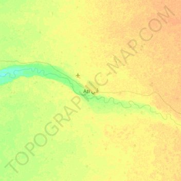
Name: Ati topographic map, elevation, terrain.

Location: Ati, Batha, Chad (13.05257 18.17969 13.37257 18.49969)

Average elevation: 335 m

Minimum elevation: 320 m

Maximum elevation: 342 m

Other topographic maps

Click on a map to view its topography, its elevation and its terrain.

Umm Hajar

Chad > Batha

Umm Hajar, Batha, Chad

Average elevation: 391 m

Gogoma

Chad > Batha > Gogoma

Gogoma, Batha, Chad

Average elevation: 293 m