
Thank you for supporting this site ❤️
Make a donation
Make a donation
Gear up for your next adventure:
As an Amazon Associate, this site earns from qualifying purchases at no extra cost to you.
Peruru topographic map
Click on the map to display elevation.
Thank you for supporting this site ❤️
Make a donation
Make a donation
Gear up for your next adventure:
As an Amazon Associate, this site earns from qualifying purchases at no extra cost to you.
About this map
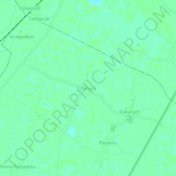
Name: Peruru topographic map, elevation, terrain.
Location: Peruru, Mudinepalle, Krishna, Andhra Pradesh, 521325, India (16.43272 81.08868 16.47272 81.12868)
Average elevation: 5 m
Minimum elevation: 0 m
Maximum elevation: 7 m
Thank you for supporting this site ❤️
Make a donation
Make a donation
Gear up for your next adventure:
As an Amazon Associate, this site earns from qualifying purchases at no extra cost to you.