Geolocate

Bojo topographic map

Click on the map to display elevation.

About this map

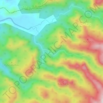
Name: Bojo topographic map, elevation, terrain.

Location: Bojo, Barru, South Sulawesi, Sulawesi, Indonesia (-4.11362 119.63863 -4.07362 119.67863)

Average elevation: 233 m

Minimum elevation: 16 m

Maximum elevation: 534 m

Gear up for your next adventure:

👟Trail Running Shoes - Agile footwear for fast-paced topographic exploration
🧥Packable Rain Jacket - Breathable waterproof layer for unpredictable weather
🛶Canoe Life Vest - Safety vest for water sports
🪜Heavy Duty Carabiners - Multi-use clips for securing gear to your backpack
🧼Biodegradable Camp Soap - Environmentally friendly cleaning for gear and body

As an Amazon Associate, this site earns from qualifying purchases at no extra cost to you.