

Tordera topographic map
Click on the map to display elevation.
Tordera
El relieve del municipio incluye zonas montañosas, integradas en el Macizo del Montnegre, y la llanura aluvial del río Tordera, cerca del límite con la provincia de Gerona. La altitud oscila entre los 668 metros (Turó d'Encona) y los 13 metros a orillas del río Tordera. El pueblo se alza a 40 metros sobre el nivel del mar.
About this map
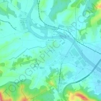
Name: Tordera topographic map, elevation, terrain.
Location: Tordera, Maresme, Barcelona, Cataluña, 08490, España (41.67772 2.69730 41.71772 2.73730)
Average elevation: 40 m
Minimum elevation: 13 m
Maximum elevation: 158 m