Geolocate

Berwick topographic map

Click on the map to display elevation.

About this map

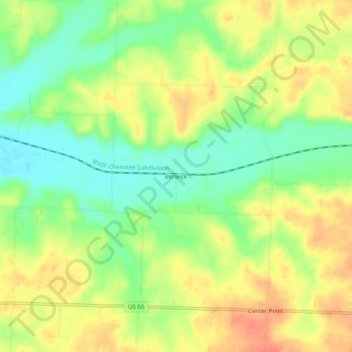
Name: Berwick topographic map, elevation, terrain.

Location: Berwick, Newton County, Missouri, United States (36.91312 -94.11466 36.95312 -94.07466)

Average elevation: 362 m

Minimum elevation: 335 m

Maximum elevation: 387 m

Other topographic maps

Click on a map to view its topography, its elevation and its terrain.

Neosho

United States > Missouri > Newton County

Average elevation: 359 m

Neosho

United States > Missouri > Newton County

Average elevation: 359 m

Fairview

United States > Missouri > Newton County

Average elevation: 391 m

Gear up for your next adventure:

🎒Fully Waterproof Backpack - Total protection for photography gear and electronics
🧣Evaporative Cooling Towel - Beat the heat during intense summer climbs
🧥Waterproof Jacket - Lightweight rain jackets for hiking and outdoor activities
🥾Trail Hiking Boots - Supportive boots for rough trails
💡LED Headlamp - Hands-free illumination for night hiking and camping

As an Amazon Associate, this site earns from qualifying purchases at no extra cost to you.