Geolocate

Maynard topographic map

Click on the map to display elevation.

About this map

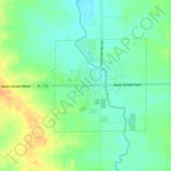
Name: Maynard topographic map, elevation, terrain.

Location: Maynard, Fayette County, Iowa, 50655, United States (42.76646 -91.88773 42.78122 -91.86749)

Average elevation: 340 m

Minimum elevation: 326 m

Maximum elevation: 360 m

Gear up for your next adventure:

🛌Insulated Sleeping Pad - Critical thermal barrier between you and the cold ground
💧Reusable Water Bottle - Durable water bottles for hydration on trails
🥾Mountain Trail Shoes - High-traction shoes for mountain trails
🔦LED Flashlight - Powerful and long-lasting flashlight for camping and emergencies
🥾Trail Hiking Socks - Comfortable socks to prevent blisters and fatigue

As an Amazon Associate, this site earns from qualifying purchases at no extra cost to you.