Geolocate

Manpur topographic map

Click on the map to display elevation.

About this map

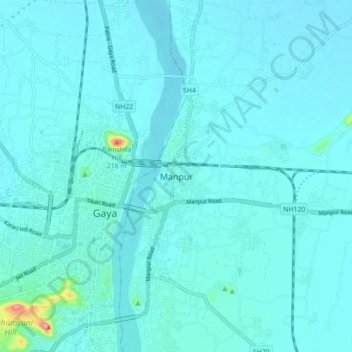
Name: Manpur topographic map, elevation, terrain.

Location: Manpur, Gaya, Bihar, 811320, India (24.76472 84.98585 24.84472 85.06585)

Average elevation: 111 m

Minimum elevation: 100 m

Maximum elevation: 236 m

Gear up for your next adventure:

🍽️Titanium Camping Spork - Ultralight and indestructible eating utensil
🔨Vehicle Emergency Tool - Safety tool for remote road trips to trailheads
🧣Evaporative Cooling Towel - Beat the heat during intense summer climbs
🦯Trekking Poles - Reduced impact on joints for steep topographic climbs
🧥Softshell Hiking Jacket - The perfect balance of wind protection and breathability

As an Amazon Associate, this site earns from qualifying purchases at no extra cost to you.