Geolocate

Stoner topographic map

Interactive map

Click on the map to display elevation.

About this map

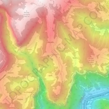
Name: Stoner topographic map, elevation, terrain.

Location: Stoner, Enego, Vicenza, Veneto, 36052, Italy (45.89509 11.65499 45.93509 11.69499)

Average elevation: 958 m

Minimum elevation: 172 m

Maximum elevation: 1,477 m

Other topographic maps

Click on a map to view its topography, its elevation and its terrain.

Case

Italy > Veneto > Vicenza > Malo

Case, Malo, Vicenza, Veneto, 36034, Italy

Average elevation: 164 m

Vicenza

Italy > Veneto > Vicenza

Vicenza, Veneto, Italy

Average elevation: 455 m

Mortisa

Italy > Veneto > Vicenza > Lugo di Vicenza

Mortisa, Lugo di Vicenza, Colceresa, Vicenza, Veneto, Italy

Average elevation: 528 m

Castelgomberto

Italy > Veneto > Vicenza

Castelgomberto, Vicenza, Veneto, 36070, Italy

Average elevation: 187 m