Geolocate

Kadampadi topographic map

Click on the map to display elevation.

About this map

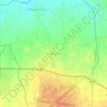
Name: Kadampadi topographic map, elevation, terrain.

Location: Kadampadi, Sulur, Coimbatore, Tamil Nadu, 641401, India (11.01324 77.14067 11.05324 77.18067)

Average elevation: 365 m

Minimum elevation: 345 m

Maximum elevation: 385 m

Other topographic maps

Click on a map to view its topography, its elevation and its terrain.

Pattanam

India > Tamil Nadu > Sulur

Average elevation: 391 m

Senjerimalai

India > Tamil Nadu > Sulur > Senjerimalai

Average elevation: 372 m

Noyyal River

India > Tamil Nadu > Sulur

Average elevation: 376 m

Gear up for your next adventure:

🔪Outdoor Multitool - Versatile tool for repairs and food prep in the wild
🥾Trail Running Shoes - Lightweight and durable shoes for trail running
🧥Fleece Jacket - Warm and lightweight jacket for layering
🧦Outdoor Socks - Durable socks designed for hiking and outdoor sports
Camping Coffee Maker - Brew fresh coffee anywhere on the topographic map

As an Amazon Associate, this site earns from qualifying purchases at no extra cost to you.