Geolocate

Tamul Waterfall topographic map

Click on the map to display elevation.

About this map

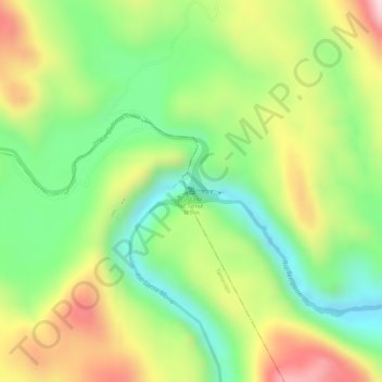
Name: Tamul Waterfall topographic map, elevation, terrain.

Location: Tamul Waterfall, Aquismón, San Luis Potosi, Mexico (21.80122 -99.18007 21.80132 -99.17997)

Average elevation: 236 m

Minimum elevation: 80 m

Maximum elevation: 423 m

Gear up for your next adventure:

🦟Insect Repellent - Keep mosquitoes and black flies away in wooded areas
🥾Trail Running Shoes - Lightweight and durable shoes for trail running
🥾Hiking Shoes - Durable and comfortable shoes for trail hiking
🔦UV Flashlight - Detect minerals or specific insects in the dark
Family Camping Tent - Spacious tent suitable for family camping trips

As an Amazon Associate, this site earns from qualifying purchases at no extra cost to you.