Geolocate

Camazzole topographic map

Click on the map to display elevation.

About this map
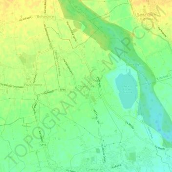
Name: Camazzole topographic map, elevation, terrain.

Location: Camazzole, Carmignano di Brenta, Padova, Veneto, Italy (45.62861 11.67673 45.66861 11.71673)

Average elevation: 51 m

Minimum elevation: 38 m

Maximum elevation: 64 m

Gear up for your next adventure:

🧦Thermal Socks - Warm socks for winter hiking or camping
🚲Heavy Duty Bike Lock - Secure your bike at the trailhead or during stops
🥾Lightweight Hiking Shoes - Comfortable shoes for day hikes
🥽Outdoor Goggles - Protective eyewear for outdoor activities
🔭Outdoor Binoculars - Lightweight binoculars for birdwatching and hiking

As an Amazon Associate, this site earns from qualifying purchases at no extra cost to you.