
Closter topographic map
Click on the map to display elevation.
Closter
The topography gave a sense of isolation and protection, tucked behind the highest point of the Palisades and protected by limited access. Alternatively, sources indicate that the name derives from an early settler named Frederick Closter. Claims have been made that Frederick Closter is a myth that dates back to the 1940s.
About this map
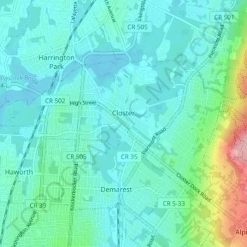
Name: Closter topographic map, elevation, terrain.
Location: Closter, Bergen County, New Jersey, 07624, United States (40.95748 -74.00184 40.98434 -73.93435)
Average elevation: 32 m
Minimum elevation: 3 m
Maximum elevation: 165 m