Geolocate

Villa Morelos topographic map

Click on the map to display elevation.

About this map

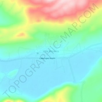
Name: Villa Morelos topographic map, elevation, terrain.

Location: Villa Morelos, Morelos, Michoacán, Mexico (19.98336 -101.43383 20.02336 -101.39383)

Average elevation: 2,352 m

Minimum elevation: 2,273 m

Maximum elevation: 2,545 m

Gear up for your next adventure:

💡Portable Camping Lamp - Rechargeable lamp for campsite lighting
🧴First Aid Kit - Essential first aid supplies for outdoor emergencies
🥾Trekking Poles - Adjustable trekking poles to reduce knee stress and improve stability
🥾Waterproof Hiking Boots - Essential footwear for rugged terrain and wet Canadian trails
🧢Outdoor Cap - Protective cap for sun and rain during hikes

As an Amazon Associate, this site earns from qualifying purchases at no extra cost to you.