Geolocate

Mortara topographic map

Click on the map to display elevation.

About this map
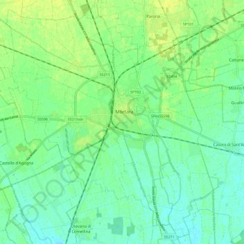
Name: Mortara topographic map, elevation, terrain.

Location: Mortara, Pavia, Lombardia, 27036, Italia (45.20792 8.69638 45.28792 8.77638)

Average elevation: 108 m

Minimum elevation: 100 m

Maximum elevation: 118 m

Gear up for your next adventure:

💡LED Camping Lantern - Illuminate your campsite with long-lasting lanterns
🩹Moleskin Blister Pads - Direct protection for painful foot pressure points
🪑Insulated Seat Pad - Protect your seat from cold rocks and wet logs
🔦LED Headtorch - Bright and durable light for night activities
🎒Fully Waterproof Backpack - Total protection for photography gear and electronics

As an Amazon Associate, this site earns from qualifying purchases at no extra cost to you.