
Aluva topographic map
Interactive map
Click on the map to display elevation.
About this map
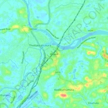
Name: Aluva topographic map, elevation, terrain.
Location: Aluva, Ernakulam district, Kerala, 683101, India (10.06041 76.31699 10.14041 76.39699)
Average elevation: 11 m
Minimum elevation: -2 m
Maximum elevation: 52 m