Geolocate

Dicolor topographic map

Click on the map to display elevation.

About this map

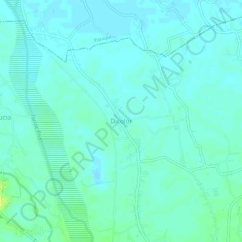
Name: Dicolor topographic map, elevation, terrain.

Location: Dicolor, Tarlac, Central Luzon, 2307, Philippines (15.60196 120.53517 15.64196 120.57517)

Average elevation: 24 m

Minimum elevation: 20 m

Maximum elevation: 35 m

Gear up for your next adventure:

🔦UV Flashlight - Detect minerals or specific insects in the dark
🪑Ultralight Camping Stool - Compact seating for rest stops during long hikes
🧥Insulated Jacket - Keep warm in cold outdoor conditions
📷Outdoor Action Camera - Capture high-elevation views and rugged adventures
💧Reusable Water Bottle - Durable water bottles for hydration on trails

As an Amazon Associate, this site earns from qualifying purchases at no extra cost to you.