
Wiefelstede topographic map
Interactive map
Click on the map to display elevation.
About this map
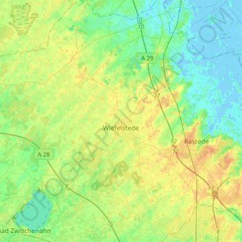
Name: Wiefelstede topographic map, elevation, terrain.
Location: Wiefelstede, Landkreis Ammerland, Nedersaksen, 26215, Duitsland (53.17694 8.03045 53.34358 8.20173)
Average elevation: 11 m
Minimum elevation: -3 m
Maximum elevation: 25 m