Geolocate

Aberdeen topographic map

Click on the map to display elevation.

About this map

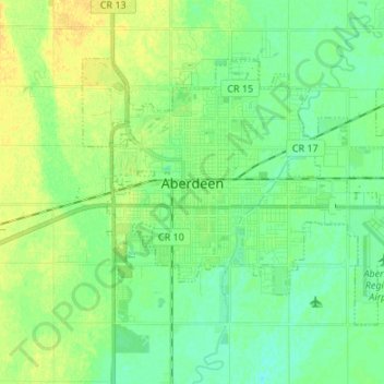
Name: Aberdeen topographic map, elevation, terrain.

Location: Aberdeen, Brown County, South Dakota, 57401, United States (45.43008 -98.52648 45.49562 -98.39220)

Average elevation: 399 m

Minimum elevation: 390 m

Maximum elevation: 411 m

Gear up for your next adventure:

🛶Kayak Dry Bag - Waterproof storage for kayaking adventures
🥾Lightweight Hiking Boots - Boots for comfort and mobility on long hikes
👖Convertible Hiking Pants - Zip-off legs to adapt to changing weather conditions
🛶Canoe Life Vest - Safety vest for water sports
🦶Hiking Shoe Insoles - Added support for high arches and long days on feet

As an Amazon Associate, this site earns from qualifying purchases at no extra cost to you.