
Lane End topographic map
Click on the map to display elevation.
About this map
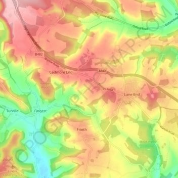
Name: Lane End topographic map, elevation, terrain.
Location: Lane End, Buckinghamshire, England, United Kingdom (51.60416 -0.89977 51.63748 -0.80795)
Average elevation: 148 m
Minimum elevation: 59 m
Maximum elevation: 220 m