Geolocate

Johnson topographic map

Click on the map to display elevation.

About this map

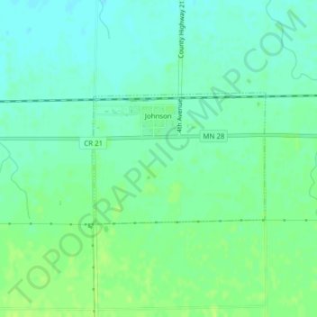
Name: Johnson topographic map, elevation, terrain.

Location: Johnson, Big Stone County, Minnesota, United States (45.56371 -96.30303 45.57492 -96.28204)

Average elevation: 346 m

Minimum elevation: 339 m

Maximum elevation: 352 m

Gear up for your next adventure:

🥾Hiking Shorts - Breathable shorts suitable for summer hikes
🛶Waterproof Dry Bags - Keep electronics and clothes dry during river crossings
🗺️Topographic Maps - Detailed maps to explore trails, mountains, and wilderness areas
🧦Merino Wool Socks - Moisture-wicking comfort for long-distance hiking
🧢Beanie Hat - Keep your head warm in cold weather

As an Amazon Associate, this site earns from qualifying purchases at no extra cost to you.