Geolocate

Pulau Raya topographic map

Click on the map to display elevation.

About this map

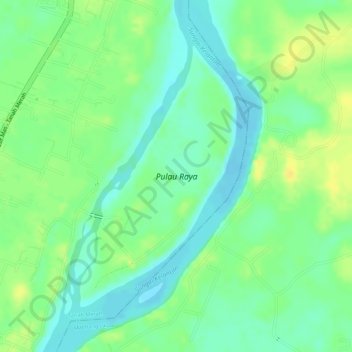
Name: Pulau Raya topographic map, elevation, terrain.

Location: Pulau Raya, Tanah Merah, Kelantan, Malaysia (5.83409 102.16864 5.85414 102.18076)

Average elevation: 18 m

Minimum elevation: 5 m

Maximum elevation: 31 m

Gear up for your next adventure:

🥾Hiking Shoes - Durable and comfortable shoes for trail hiking
🐕Hiking Dog Pack - Let your canine companion carry their own water and food
🥾Mountain Hiking Shoes - Shoes with superior grip for mountainous terrain
🛰️Satellite Messenger - Emergency communication for areas with no cell service
🚲Heavy Duty Bike Lock - Secure your bike at the trailhead or during stops

As an Amazon Associate, this site earns from qualifying purchases at no extra cost to you.