
Thank you for supporting this site ❤️
Make a donation
Make a donation
Gear up for your next adventure:
As an Amazon Associate, this site earns from qualifying purchases at no extra cost to you.
Liesfeld topographic map
Click on the map to display elevation.
Thank you for supporting this site ❤️
Make a donation
Make a donation
Gear up for your next adventure:
As an Amazon Associate, this site earns from qualifying purchases at no extra cost to you.
About this map
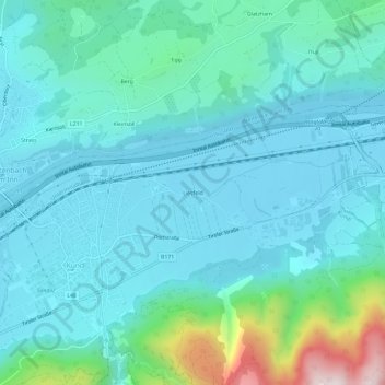
Name: Liesfeld topographic map, elevation, terrain.
Location: Liesfeld, Kundl, Bezirk Kufstein, 6250, Austria (47.45667 11.98253 47.49667 12.02253)
Average elevation: 619 m
Minimum elevation: 497 m
Maximum elevation: 1,248 m
Thank you for supporting this site ❤️
Make a donation
Make a donation
Gear up for your next adventure:
As an Amazon Associate, this site earns from qualifying purchases at no extra cost to you.