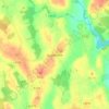
Taghmon topographic map
Click on the map to display elevation.
Taghmon
Many Irish place names are topographically descriptive, and 'Achadh Liathdrom' is no exception. From the western side of the Forth Mountain, as it slopes down towards Ballintlea, a succession of gradual hills and valleys undulate their way across this part of County Wexford towards Camross, Bree and Carrigbyrne Hills. It is on one of these hills or ridges that the village of Taghmon is situated.
About this map
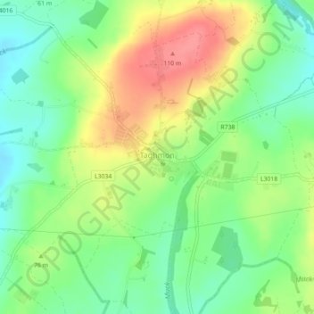
Name: Taghmon topographic map, elevation, terrain.
Average elevation: 67 m
Minimum elevation: 35 m
Maximum elevation: 108 m
Other topographic maps
Click on a map to view its topography, its elevation and its terrain.