
Øvrebø topographic map
Interactive map
Click on the map to display elevation.
About this map
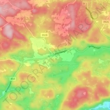
Name: Øvrebø topographic map, elevation, terrain.
Location: Øvrebø, Vennesla, Agder, 4715, Noorwegen (58.27299 7.76793 58.31299 7.80793)
Average elevation: 282 m
Minimum elevation: 162 m
Maximum elevation: 372 m
Other topographic maps
Click on a map to view its topography, its elevation and its terrain.