
Cassibile topographic map
Interactive map
Click on the map to display elevation.
About this map
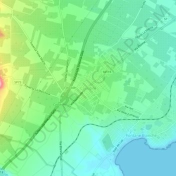
Name: Cassibile topographic map, elevation, terrain.
Location: Cassibile, Syracuse, Sicile, Italie (36.95627 15.17766 36.99627 15.21766)
Average elevation: 42 m
Minimum elevation: 0 m
Maximum elevation: 151 m
Other topographic maps
Click on a map to view its topography, its elevation and its terrain.