
Parroquia Sucre topographic map
Interactive map
Click on the map to display elevation.
About this map
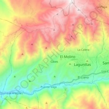
Name: Parroquia Sucre topographic map, elevation, terrain.
Location: Parroquia Sucre, Municipio Sucre, Venezuela (8.44226 -71.49146 8.57768 -71.36265)
Average elevation: 1,439 m
Minimum elevation: 472 m
Maximum elevation: 2,669 m