Geolocate

Gunung Buthak Kawi topographic map

Click on the map to display elevation.

About this map

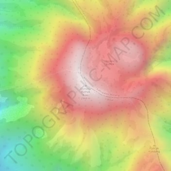
Name: Gunung Buthak Kawi topographic map, elevation, terrain.

Location: Gunung Buthak Kawi, Blitar, East Java, Java, Indonesia (-7.95540 112.46513 -7.95530 112.46523)

Average elevation: 2,424 m

Minimum elevation: 1,812 m

Maximum elevation: 2,837 m

Gear up for your next adventure:

🕶️Polarized Sunglasses - Reduces glare from snow and water at high elevations
🧣Evaporative Cooling Towel - Beat the heat during intense summer climbs
🥾Mountain Hiking Shoes - Shoes with superior grip for mountainous terrain
🥾Lightweight Hiking Shoes - Comfortable shoes for day hikes
🧢Beanie Hat - Keep your head warm in cold weather

As an Amazon Associate, this site earns from qualifying purchases at no extra cost to you.