
Quaremont topographic map
Interactive map
Click on the map to display elevation.
About this map
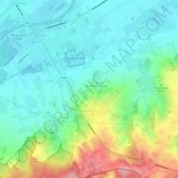
Name: Quaremont topographic map, elevation, terrain.
Location: Quaremont, Audenarde, Flandre orientale, Flandre, 9690, Belgique (50.76290 3.51292 50.79885 3.56534)
Average elevation: 44 m
Minimum elevation: 6 m
Maximum elevation: 134 m