Geolocate

Gadu topographic map

Click on the map to display elevation.

About this map

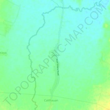
Name: Gadu topographic map, elevation, terrain.

Location: Gadu, Solana, Cagayan, Cagayan Valley, Philippines (17.60901 121.59113 17.64901 121.63113)

Average elevation: 32 m

Minimum elevation: 24 m

Maximum elevation: 44 m

Gear up for your next adventure:

🔦UV Flashlight - Detect minerals or specific insects in the dark
Tent Footprint - Protect tent floor and increase durability
🌬️Windproof Camp Stove - Efficient cooking even on exposed mountain peaks
🥾Mountain Trail Shoes - High-traction shoes for mountain trails
🦯Trekking Poles - Reduced impact on joints for steep topographic climbs

As an Amazon Associate, this site earns from qualifying purchases at no extra cost to you.