Geolocate

Mamurdi topographic map

Click on the map to display elevation.

About this map

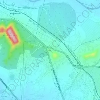
Name: Mamurdi topographic map, elevation, terrain.

Location: Mamurdi, Haveli, Pune District, Maharashtra, 412101, India (18.66524 73.70261 18.70524 73.74261)

Average elevation: 606 m

Minimum elevation: 572 m

Maximum elevation: 819 m

Other topographic maps

Click on a map to view its topography, its elevation and its terrain.

Khadakwasla Dam

India > Maharashtra > Haveli > Khadakwasla

Average elevation: 589 m

Nyati Evita Park

India > Maharashtra > Haveli

Average elevation: 609 m

Gear up for your next adventure:

🧴Insect Repellent - Protect yourself from bugs during outdoor adventures
🧦Thermal Socks - Warm socks for winter hiking or camping
👟Sport Hiking Sandals - Breathable footwear for water crossings and camp rest
🔦LED Headtorch - Bright and durable light for night activities
🚑Survival Whistle - Signal for help across long distances in mountains

As an Amazon Associate, this site earns from qualifying purchases at no extra cost to you.