
Thank you for supporting this site ❤️
Make a donation
Make a donation
Gear up for your next adventure:
As an Amazon Associate, this site earns from qualifying purchases at no extra cost to you.
Castagnola topographic map
Click on the map to display elevation.
Thank you for supporting this site ❤️
Make a donation
Make a donation
Gear up for your next adventure:
As an Amazon Associate, this site earns from qualifying purchases at no extra cost to you.
About this map
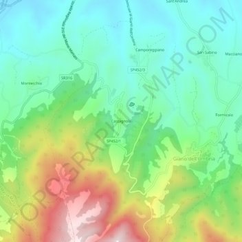
Name: Castagnola topographic map, elevation, terrain.
Location: Castagnola, Giano dell'Umbria, Perugia, Umbria, 06030, Italy (42.81967 12.54123 42.85967 12.58123)
Average elevation: 489 m
Minimum elevation: 304 m
Maximum elevation: 863 m
Thank you for supporting this site ❤️
Make a donation
Make a donation
Gear up for your next adventure:
As an Amazon Associate, this site earns from qualifying purchases at no extra cost to you.