Geolocate

Wapse topographic map

Click on the map to display elevation.

About this map

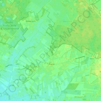
Name: Wapse topographic map, elevation, terrain.

Location: Wapse, Westerveld, Drenthe, Netherlands (52.83676 6.21931 52.89806 6.29691)

Average elevation: 8 m

Minimum elevation: 2 m

Maximum elevation: 14 m

Gear up for your next adventure:

🛶Kayak Accessories - Essential gear for safe and fun kayaking adventures
🧭Orienteering Kit - Tools for map reading and navigation in the wild
🥾Trekking Poles - Adjustable trekking poles to reduce knee stress and improve stability
🩹Compact First Aid Kit - Pre-packed essentials for common trail injuries
🧴Bear Spray Holster - Quick-access carry for essential Canadian wilderness safety

As an Amazon Associate, this site earns from qualifying purchases at no extra cost to you.