
Kalinga topographic map
Interactive map
Click on the map to display elevation.
About this map
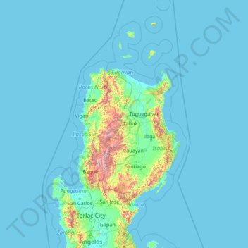
Name: Kalinga topographic map, elevation, terrain.
Location: Kalinga, Cordillera Administrative Region, Philippinen (14.90000 118.75000 20.02000 123.87000)
Average elevation: 99 m
Minimum elevation: 0 m
Maximum elevation: 2,826 m
Other topographic maps
Click on a map to view its topography, its elevation and its terrain.