
Pardo topographic map
Interactive map
Click on the map to display elevation.
About this map
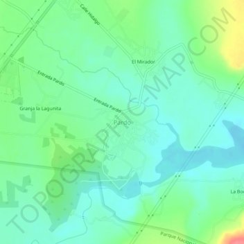
Name: Pardo topographic map, elevation, terrain.
Location: Pardo, Villa de Reyes, San Luis Potosí, México (21.86500 -100.87769 21.90500 -100.83769)
Average elevation: 1,796 m
Minimum elevation: 1,776 m
Maximum elevation: 1,847 m