
Nowshera topographic map
Click on the map to display elevation.
Nowshera
Given its spatial and demographic extent, Nowshera has been given the status of a Sub-District. It is a beautiful place with a number of tourist attractions including the fort of Mangla Devi, holy cave temple of Mangla Mata, Central Gurudwara of Sikhs in Nonial, Qila Darhal and other Dargahs and temples. The literacy rate of Nowshera is very high with low male-female literacy gap that shows that there is deep inclination of people towards education. It has an average elevation of 1,575 metres (5,167 feet).
About this map
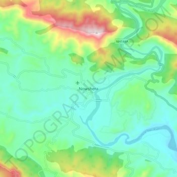
Name: Nowshera topographic map, elevation, terrain.
Average elevation: 668 m
Minimum elevation: 501 m
Maximum elevation: 1,119 m