
Maesteg topographic map
Interactive map
Click on the map to display elevation.
About this map
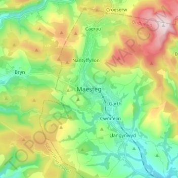
Name: Maesteg topographic map, elevation, terrain.
Location: Maesteg, Bridgend, Pays de Galles, CF34 9DA, Royaume-Uni (51.56888 -3.69838 51.64888 -3.61838)
Average elevation: 244 m
Minimum elevation: 66 m
Maximum elevation: 556 m