
Lac Roger topographic map
Click on the map to display elevation.
About this map
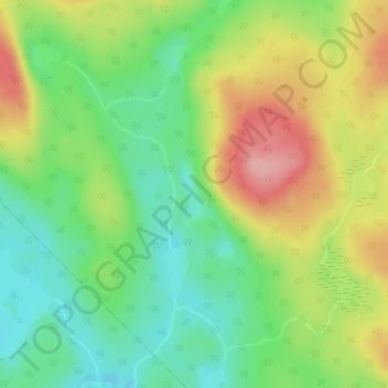
Name: Lac Roger topographic map, elevation, terrain.
Location: Lac Roger, Lac-Normand, Mékinac, Mauricie, Quebec, Canada (47.23496 -73.71445 47.23937 -73.71184)
Average elevation: 444 m
Minimum elevation: 390 m
Maximum elevation: 519 m
Mékinac trails, hiking, mountain biking, running and outdoor activities