Geolocate

Bay topographic map

Click on the map to display elevation.

About this map

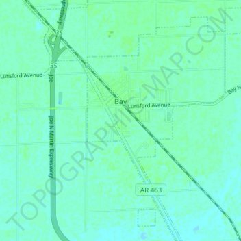
Name: Bay topographic map, elevation, terrain.

Location: Bay, Craighead County, Arkansas, 72411, United States (35.71359 -90.58733 35.76395 -90.53113)

Average elevation: 69 m

Minimum elevation: 66 m

Maximum elevation: 72 m

Other topographic maps

Click on a map to view its topography, its elevation and its terrain.

Gear up for your next adventure:

Lightweight Camping Tent - Portable shelter optimized for Canadian backcountry camping
🔭Compact Monocular - One-handed bird watching and trail spotting
🥾Trekking Boots - Durable boots for long-distance trekking
🥾Approach Boots - Comfortable boots for hiking and climbing approaches
🧰Survival Kit - Essential gear for emergencies in the wilderness

As an Amazon Associate, this site earns from qualifying purchases at no extra cost to you.