
Gurteen topographic map
Interactive map
Click on the map to display elevation.
About this map
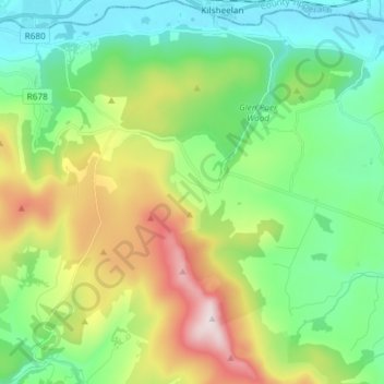
Name: Gurteen topographic map, elevation, terrain.
Average elevation: 232 m
Minimum elevation: 5 m
Maximum elevation: 730 m
Other topographic maps
Click on a map to view its topography, its elevation and its terrain.
Parkswood Upper
Parkswood Upper, Faithlegg, Waterford City Metropolitan District, County Waterford, Munster, Ireland
Average elevation: 44 m
Waterford
Waterford, County Waterford, Munster, Ireland
Average elevation: 33 m