
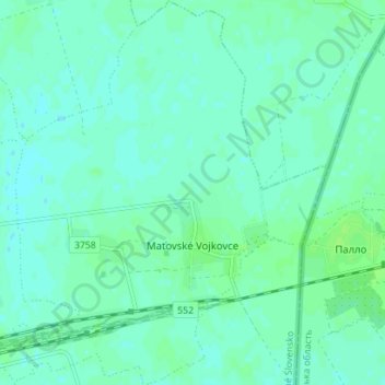
Maťovské Vojkovce topographic map
Interactive map
Click on the map to display elevation.
About this map
Name: Maťovské Vojkovce topographic map, elevation, terrain.
Average elevation: 106 m
Minimum elevation: 102 m
Maximum elevation: 110 m
The village lies at an altitude of 112 metres (367 ft) and covers an area of 12.293 square kilometres (4.746 sq mi). The municipality has a population of about 590 people.
Other topographic maps
Click on a map to view its topography, its elevation and its terrain.
Lúčky
Slovakia > Region of Košice > District of Michalovce
Lúčky, District of Michalovce, Region of Košice, Eastern Slovakia, Slovakia
Average elevation: 113 m