Geolocate

Panoor topographic map

Click on the map to display elevation.

About this map

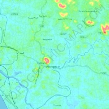
Name: Panoor topographic map, elevation, terrain.

Location: Panoor, Mekkunnu, Thalassery, Kannur district, Kerala, India (11.67559 75.56140 11.77429 75.60732)

Average elevation: 19 m

Minimum elevation: -1 m

Maximum elevation: 119 m

Gear up for your next adventure:

🧭Orienteering Kit - Tools for map reading and navigation in the wild
🧦Hiking Socks - Moisture-wicking and comfortable socks for long hikes
Lightweight Camping Tent - Portable shelter optimized for Canadian backcountry camping
🛶Waterproof Dry Bags - Keep electronics and clothes dry during river crossings
🧭GPS Handheld Device - Reliable GPS navigation for outdoor adventures

As an Amazon Associate, this site earns from qualifying purchases at no extra cost to you.