Geolocate

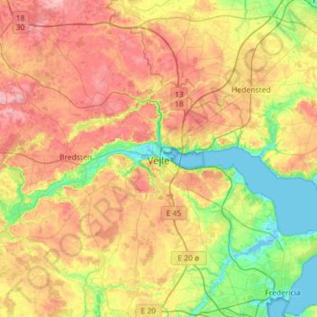
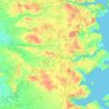
Vejle topographic map

Click on the map to display elevation.

Vejle

In a country where the highest natural elevation is only about 170 m (558 ft) above sea level, Vejle is known for the forested hills that rise to the north and south of the town and fjord.

Wikipedia (CC-BY-SA 3.0)

About this map

Name: Vejle topographic map, elevation, terrain.

Location: Vejle, Vejle Municipality, Region of Southern Denmark, 7100, Denmark (55.54793 9.37294 55.86793 9.69294)

Average elevation: 61 m

Minimum elevation: -3 m

Maximum elevation: 138 m

Other topographic maps

Click on a map to view its topography, its elevation and its terrain.

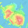
Funen

Denmark > Region of Southern Denmark

Average elevation: 19 m

Funen

Denmark > Region of Southern Denmark

Average elevation: 19 m

Funen

Denmark > Region of Southern Denmark

Average elevation: 19 m

Funen

Denmark > Region of Southern Denmark

Average elevation: 19 m

Rømø

Denmark > Region of Southern Denmark

Average elevation: 0 m

Skarø

Denmark > Region of Southern Denmark

Average elevation: 0 m

Guldbjerg

Denmark > Region of Southern Denmark

Average elevation: 23 m

Egholm

Denmark > Region of Southern Denmark

Average elevation: 0 m

Funen

Denmark > Region of Southern Denmark

Average elevation: 19 m

Funen

Denmark > Region of Southern Denmark

Average elevation: 19 m

Ærø

Denmark > Region of Southern Denmark

Average elevation: 3 m

Gear up for your next adventure:

🛁Quick-Dry Microfiber Towel - Space-saving towel that dries rapidly on the move
🚲Heavy Duty Bike Lock - Secure your bike at the trailhead or during stops
🦶Anti-Blister Balm - Prevents friction and hotspots during long ascents
🧥Fleece Jacket - Warm and lightweight jacket for layering
⛺Camping Essentials - All-in-one gear for a comfortable camping trip

As an Amazon Associate, this site earns from qualifying purchases at no extra cost to you.