
Artern topographic map
Interactive map
Click on the map to display elevation.
About this map
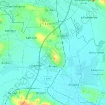
Name: Artern topographic map, elevation, terrain.
Location: Artern, Kyffhäuserkreis, Thuringe, 06556, Allemagne (51.34167 11.23891 51.41033 11.40156)
Average elevation: 131 m
Minimum elevation: 116 m
Maximum elevation: 239 m