Geolocate

Kurud topographic map

Click on the map to display elevation.

About this map

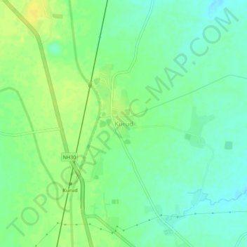
Name: Kurud topographic map, elevation, terrain.

Location: Kurud, Kurud Tahsil, Dhamtari, Chhattisgarh, 493663, India (20.83940 81.68998 20.87940 81.72998)

Average elevation: 310 m

Minimum elevation: 300 m

Maximum elevation: 320 m

Gear up for your next adventure:

🥾Trekking Poles - Adjustable trekking poles to reduce knee stress and improve stability
🧢Outdoor Visor - Breathable visor for sunny hikes
🔨Vehicle Emergency Tool - Safety tool for remote road trips to trailheads
🦶Anti-Blister Balm - Prevents friction and hotspots during long ascents
🧴Sunscreen SPF - Broad-spectrum sunscreen for outdoor activities

As an Amazon Associate, this site earns from qualifying purchases at no extra cost to you.