
Thank you for supporting this site ❤️
Make a donation
Make a donation
Gear up for your next adventure:
As an Amazon Associate, this site earns from qualifying purchases at no extra cost to you.
Gaduka topographic map
Click on the map to display elevation.
Thank you for supporting this site ❤️
Make a donation
Make a donation
Gear up for your next adventure:
As an Amazon Associate, this site earns from qualifying purchases at no extra cost to you.
About this map
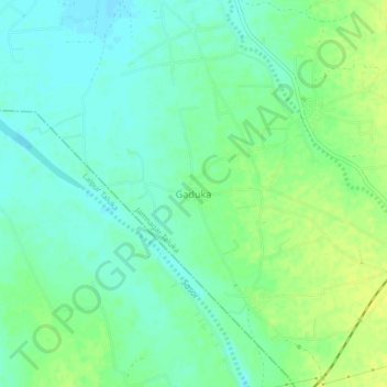
Name: Gaduka topographic map, elevation, terrain.
Location: Gaduka, Jamnagar Taluka, Jamnagar District, Gujarat, India (22.36255 69.92088 22.40255 69.96088)
Average elevation: 17 m
Minimum elevation: 9 m
Maximum elevation: 26 m
Thank you for supporting this site ❤️
Make a donation
Make a donation
Gear up for your next adventure:
As an Amazon Associate, this site earns from qualifying purchases at no extra cost to you.