
Amata topographic map
Click on the map to display elevation.
About this map
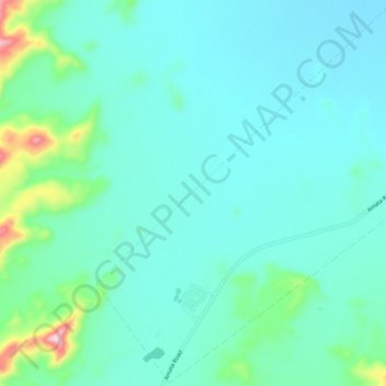
Name: Amata topographic map, elevation, terrain.
Average elevation: 713 m
Minimum elevation: 658 m
Maximum elevation: 1,001 m
Other topographic maps
Click on a map to view its topography, its elevation and its terrain.
Marble Hill
Australia > South Australia > Anangu Pitjantjatjara Yankunytjatjara
Average elevation: 480 m
Mount Woodroffe
Australia > South Australia > Anangu Pitjantjatjara Yankunytjatjara
Average elevation: 1,154 m
Musgrave Ranges
Australia > South Australia > Anangu Pitjantjatjara Yankunytjatjara
Average elevation: 1,054 m