
Hawea topographic map
Interactive map
Click on the map to display elevation.
About this map
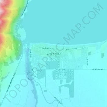
Name: Hawea topographic map, elevation, terrain.
Location: Hawea, Queenstown-Lakes District, Otago, Nouvelle-Zélande (-44.63264 169.24395 -44.59264 169.28395)
Average elevation: 372 m
Minimum elevation: 320 m
Maximum elevation: 768 m