
Dela topographic map
Interactive map
Click on the map to display elevation.
About this map
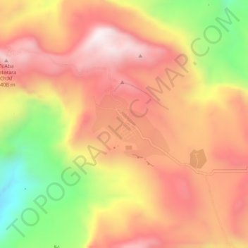
Name: Dela topographic map, elevation, terrain.
Location: Dela, Southern Tigray, Tigré, Éthiopie (12.98744 39.32546 13.02744 39.36546)
Average elevation: 2,398 m
Minimum elevation: 1,871 m
Maximum elevation: 2,749 m
Other topographic maps
Click on a map to view its topography, its elevation and its terrain.