
Marigot Beach topographic map
Interactive map
Click on the map to display elevation.
About this map
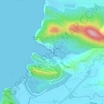
Name: Marigot Beach topographic map, elevation, terrain.
Location: Marigot Beach, Coolie Town, Castries, Saint Lucia (13.96600 -61.02565 13.96672 -61.02509)
Average elevation: 33 m
Minimum elevation: 0 m
Maximum elevation: 229 m