Geolocate

Khurhand topographic map

Click on the map to display elevation.

About this map

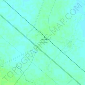
Name: Khurhand topographic map, elevation, terrain.

Location: Khurhand, Atarra, Banda, Uttar Pradesh, 210120, India (25.34288 80.45762 25.38288 80.49762)

Average elevation: 132 m

Minimum elevation: 128 m

Maximum elevation: 136 m

Gear up for your next adventure:

🗺️Topographic Maps - Detailed maps to explore trails, mountains, and wilderness areas
🥾Trail Running Shoes - Lightweight and durable shoes for trail running
🦯Trekking Poles - Reduced impact on joints for steep topographic climbs
🧴Outdoor Sunscreen - High SPF protection for high-altitude UV exposure
🧴Waterproofing Spray - Restore the DWR coating on jackets and tents

As an Amazon Associate, this site earns from qualifying purchases at no extra cost to you.